100-Mile Adventure: Machida to Hinohara Tokyo Citizens' Forest
In this blog post, I recount my thrilling cycling journey from Machida to Hachioji, continuing into the Tokyo mountains. This route, courtesy of Half Fast Cycling, offered stunning scenery and challenging climbs.
The Route
Route Breakdown:
- Began with my regular route from Machida to Hachioji
- Climbed to Family Mart Convini Konakano (200m elevation)
- Continued uphill, grateful for the extra water bottle holder due to fewer vending machines in the mountains
- Total elevation gain was high but manageable, with a max gradient of 9%
- Enjoyed cooler temperatures and scenic views thanks to the mountain trees and rivers
Key Points:
- Started the video at Hinohara Tokyo Citizens' Forest (992m), where I took a break and restocked water
- Short climb to Tokyo’s highest road point at 1151m
- Thrilling descent to Lake Okutama with smooth tarmac and no stops, reaching speeds up to 65.3 km/h
- Continued downhill to Fussa with great speed opportunities
Technical Details:
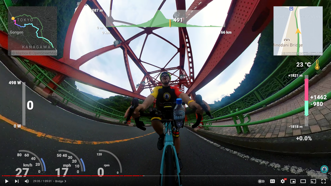
- Watts, KM/k, and mph set at 3-second average
- Tunnels affected GPS data
- Climb power data: max 498W, average 140W
Notable Waypoints:
- Hinohara Tokyo Citizens' Forest: 69.6km, 992m
- Viewpoint: 71.6km, 1112m
- Lake Okutama: 86.4km, 520m
- Mito Bridge
- Miyama Bridge
- Foodstop
- Convenience Store lunch: 103.2km, 299m
Links:
This was my first 100-mile ride and an incredible experience. If you decide to follow this route from Strava, I recommend doing it clockwise as I did.


