From Strava to Wood: Turning Four Running Routes Into One Personal Map
Some running maps celebrate a single race. Others tell a much bigger story.
This custom 30 × 40 cm wooden map was created from four separate Strava running routes, bringing thousands of miles of memories together into one piece of personalised artwork.
The message chosen for the map says it perfectly:
“Our starter home & the starting point
of thousands of miles”

Combining Four Strava Routes Into One Map
One of the interesting things about this commission was that there wasn't a single route to work from. The finished artwork combines four separate Strava activities into one continuous design.
Each route was positioned within the same geographic area and prepared for laser cutting before being brought together as the highlighted route layer. This makes it possible to create a map around a collection of meaningful runs rather than being limited to one race, one GPX file or one day's activity.
For runners with years of activities saved to Strava, that opens up some lovely possibilities: favourite training routes, routes around a former home, memorable runs with friends, or several important running experiences brought together in a single map.
More Than Just the Route
I wanted the surrounding landscape to be an important part of this map too. The running routes sit within a detailed representation of the local geography, with roads, water and engraved topographic contour lines providing context for where those miles were run.
The contours are particularly effective in wood. From directly above they add fine geographic detail, while from a lower angle the engraved lines and raised layers give the map a much stronger sense of terrain and depth.

Building the Landscape in Layers
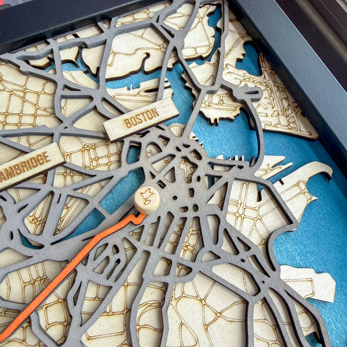
The map is constructed from individually cut and engraved layers. The natural wood provides the background for the topographic contours, while darker raised layers pick out the road network and other geographic details. The running routes are highlighted in a contrasting colour so that they remain the focus of the finished piece.
Small details such as the reservoir also help make the map recognisable to the person who knows the area, while adding another material and colour to the overall design.

A Map of Your Running Story
What I like most about custom running maps is that they don't have to commemorate an organised event. A marathon has an official course and a finish line, but some of our most important miles are accumulated much closer to home.
This map is a good example. Four separate Strava routes became one piece of artwork, accompanied by a short personal message explaining why those routes matter.
Every custom map I make begins with the customer's own route data and story. Routes can be supplied from Strava or as GPS/GPX data, and I create the surrounding map to suit the area and the routes being shown.
If you have a favourite run, a collection of Strava activities, or several routes that you would like to bring together, I would be delighted to create a custom map of them.